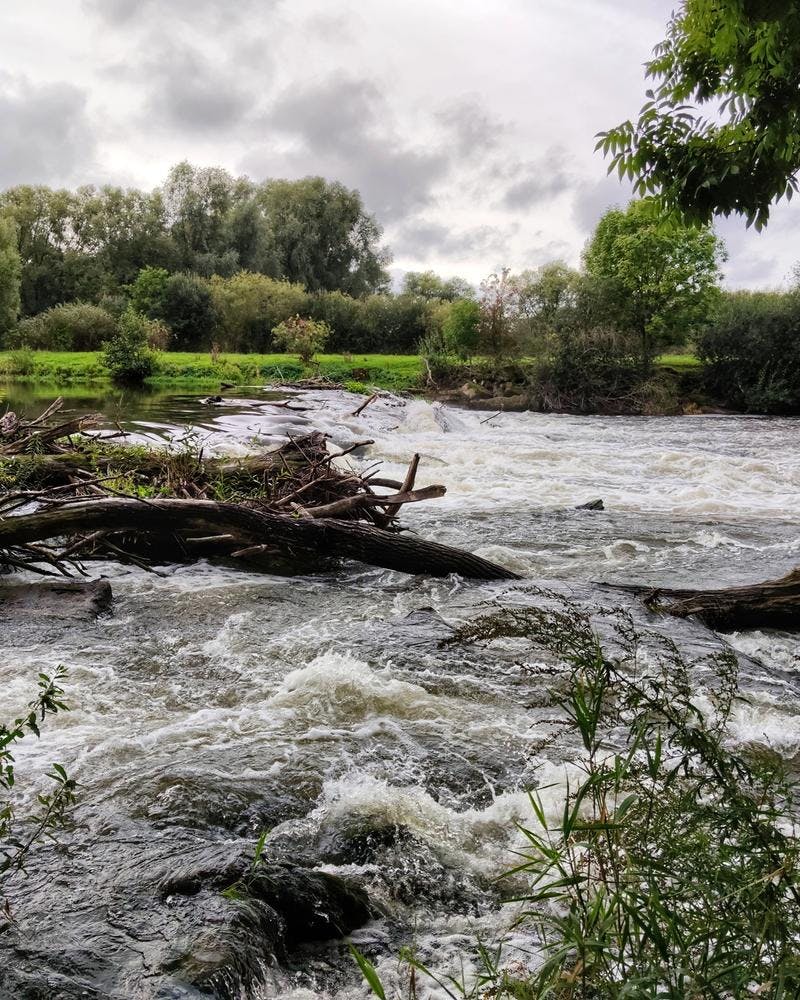
Flood Hazard Monitoring
Pipelines traverse a range of terrain, including floodplains that may be subject to periodic flooding and in some cases extreme floods that area a hazard to the structural integrity of pipelines. Satellite remote sensing services can be used to monitoring floodplains and river morphology. In the event of a major flood event, rapid flood mapping provides on-demand provision of geospatial information to support emergency management activities
Demonstration data
Hatfield’s demonstration product shows the extent of flooding along a section of the Keystone pipeline in Texas, USA, which was impacted by Hurricane Harvey in August 2017. Flood extent delineation product was generated using Sentinel-1 radar images acquired before and during the disaster. The rapid flood mapping service is available on-demand with products generated within hours of the satellite images being acquired. Flood extent map specifications depend upon the specification of the input radar data. Using the free and open Copernicus Sentinel-1 data, a 10 m resolution raster is generated. Using commercial high-resolution radar, more detailed mapping can be completed.
Flood Hazard Monitoring