Vegetation Monitoring
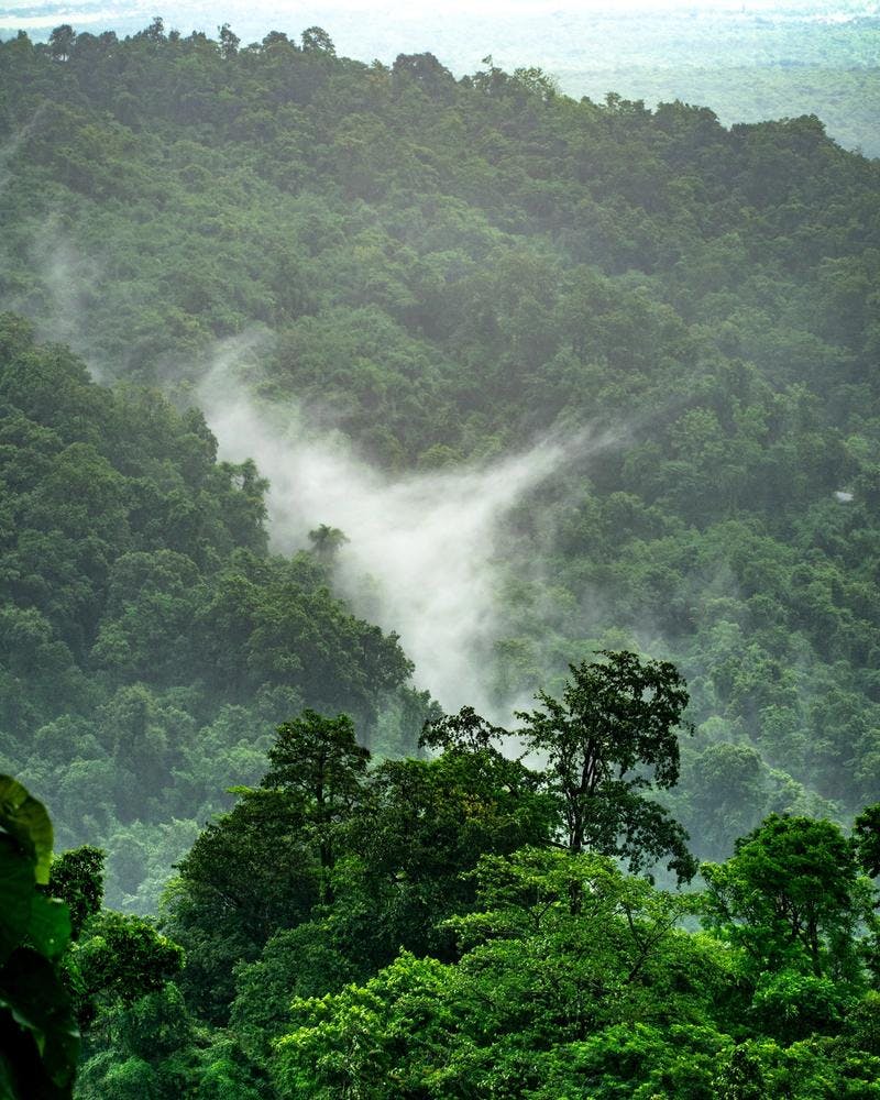
Vegetation monitoring along pipeline right of way includes monitoring of vegetation status to ensure vegetation is managed, or to determine that disturbances that should be rehabilitated are recovering as planned. Vegetation monitoring is especially of importance in forested areas. Forest management is largely based on manual analysis of aerial imagery and aerial lidar data. Aerial campaigns are infrequent due to high cost, and as a result forest inventories are often outdated. A satellite-based solution can provide frequent forest change detection which can be used to monitor forest resources and update forest inventories.
Demonstration data
On the CAMEO platform, there is a demonstration product provided by S[&]T Norway (Vegetation monitoring), and by Hatfield Consultants (Vegetation Recovery Monitoring).
S&T Norway demonstration product (Vegetation monitoring) shows changes in the forested landscape in the Norwegian Innlandet region between July 2019 and September 2020.
The product is based on a Sentinel-2 land cover classifier with representative data over the entire Norway, covering the different climate zones (alpine, coastal, arctic etc.) that are present in the country.The resulting land cover classification map can be used for several applications, but S&T Norway's main focus is to optimise forest operations and detect illegal activities.
Hatfield’s demonstration product (Vegetation Recovery Monitoring) shows the long-term monitoring of a pipeline right of way in a forested landscape in northern British Columbia, with cumulative disturbances from forest operations, exploration, and energy transmission. The analysis of a 30+ year time series of Landsat satellite data allows the identification of disturbances and monitoring of forest regrowth and recovery.
Vegetation Monitoring