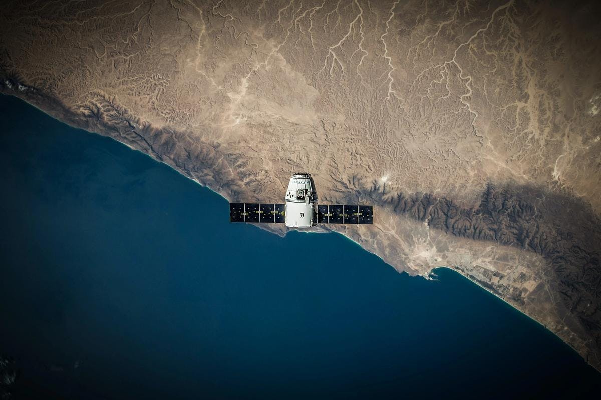
Corridor and asset monitoring using earth observation
Our features
Connect to a provider
- Whether you want to assess the condition of vegetation, receive alerts about construction works, or want to be informed about ground deformation close to the energy grid, CAMEO offers multiple monitoring services!
Receive satellite-based information
- Satellite-data will be used to monitor your energy grid, to prevent any leakages or outages. The data will be presented in a clear and useful way.
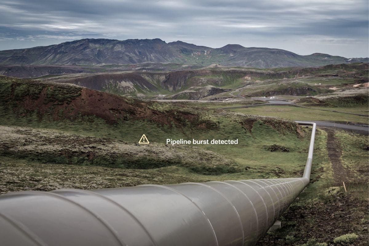
Get notified of potential hazards
- You will be notified about activities or events that can potentially damage your energy grid as soon as they are detected. Stay safe, keep an eye on your grid!
Third Party Interference (TPI) Monitoring
Pipeline and energy corridors may be affected by deliberate or accidental interference from third parties, such as excavation, construction, and agricultural activities.
To mitigate potential impacts on corridor assets, surveillance is conducted using a variety of methods such as human observations via ground and aerial surveys. However, this can be done more efficiently, more reliable and more sustainable through satellite-based monitoring.
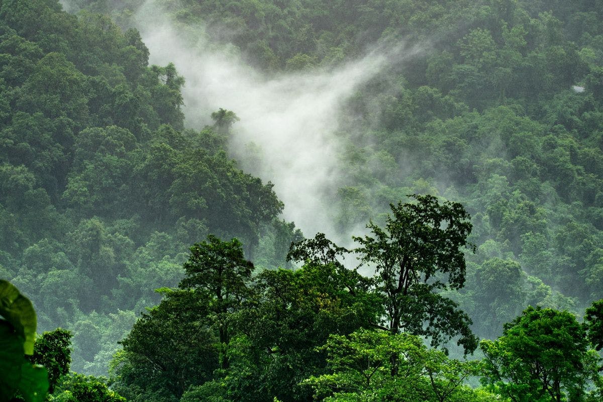
Vegetation Conditioning Monitoring
Using satellite data, insights in the condition of vegetation, growth of vegetation, health of the vegetation and clearance of vegetation can be acquired. Satellite-based monitoring of vegetation can substitute or complement traditional aerial and ground survey approaches.
How It Works
Whether you want to assess the condition of vegetation, receive information about Third Party Interferences, or want to check the ground subsidence in the energy grid corridor, multiple services are offered within CAMEO.
Together with the service provider, specific needs and challenges can be discussed and the service provider will inform you how the monitoring service can be set up.